

Lasting effects continue for Hammonds Plains residents from the 2023 wildfire: 'The PTSD is real'
It’s not a top 10 list any neighbourhood really wants to be on. This week, staff presented the results of a broad subdivision connectivity review — measuring the emergency egress and movement between communities. They scored 362 subdivisions and ranked them, with the top of the list considered to be the most vulnerable.
It is based on a detailed study by consultant HDR Corporation. Getting out quickly from a rural subdivision in an emergency was a major issue in the 2023 wildfire in Tantallon and Hammonds Plains that destroyed more than 150 homes. Fortunately, no one was hurt, but the evacuation of 16,000 people was slow going.
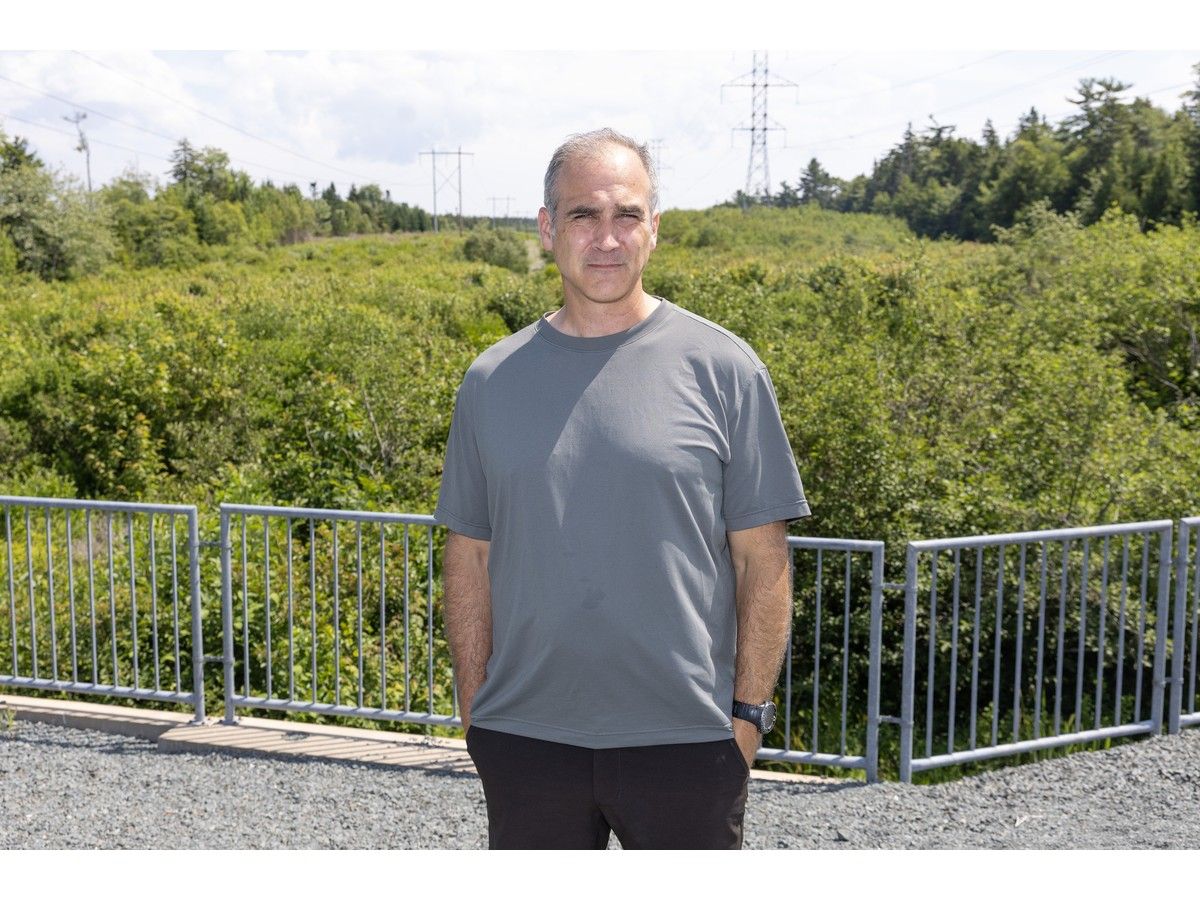
“The PTSD is real,” says Patrick Wheaton. “Anytime somebody has a fire in the neighbourhood with a campfire, people are on Facebook (posting) ‘Do you smell smoke?’ . . . When people are stuck in traffic, everyone sits there and thinks what would happen in an emergency right now?
We lived it. We went through it.” Wheaton is with the Pockwock Corridor SAFE community group that is urging a halt to more development in the area until there are better exit routes, with an exception for the Upper Hammonds Plains Community Land Trust.
Their neighbourhood — Upper Hammonds Plains — is third on the list, behind Terrence Bay in top spot and Indigo Shores in second. Wheaton said that ranking is bittersweet — it’s awful that they have such a problem, but it’s a good thing that the need is being recognized. “You see it written down, and it’s a hard fact that it’s a government-initiated report.
So we always knew it. We always felt it.” Mike Connors, manager of transportation planning, told Halifax regional council Tuesday that they used the Community Connectivity Index (CCI) to rank the subdivisions, and it shows which ones may be more vulnerable but it doesn’t suggest they are unsafe or at high risk.
Coastal and inland lake communities feature prominently at the top of the list, accounting for eight spots in the top 10. Curtis Whiley, founder and CEO of the Upper Hammonds Plains Community Land Trust, said he wasn’t surprised to see his area high on that list. Freeze please Wheaton said a gated gravel road has been installed, but they’re still missing vital connectivity and exits.
“What would happen if there was a mass shooter and it was in the winter and the road’s not plowed? Like, it doesn’t really serve anything other than the best-case scenario. The fire department doesn’t even have the key to these gates.”
Plus, significant homebuilding is only adding to the problem. The Pockwock group says 1,609 additional residential units are approved, under construction or in the planning process, in addition to existing development. “No one’s against building, no one’s against development.
We’re against building and development without the proper infrastructure attached,” Wheaton said in an interview Wednesday. Fixes for neighbourhoods Staff suggested, and council approved, several interventions Tuesday to reduce the vulnerability of these communities. These include investigating new road connections and updating standards, bylaws and design guidelines, as well as community-level emergency planning and preparedness.
Mayor Andy Fillmore added an item for staff to explore partnerships for emergency access routes, pointing to three specific utility easements (Campbell Point Road, the Pockwock water treatment plant access road and Sandy Run/Lucasville access road) that are owned by Halifax Water and Nova Scotia Power as priorities. This is something that could be delivered faster. This is a win, said Wheaton, “but we’re not letting our foot off the gas.
Our district, especially between Indigo Shores, Lucasville, Hammonds Plains and Pockwock, we’ve been severely underrepresented for years. . . . We want a functional plan that is high-level, looking from top down, addresses everything from egress routes to community connections.” A private solution?
Fillmore told reporters that after visiting the Upper Hammonds Plains area Monday, he received a call from a “private sector entity” offering to build a section of road. “So that’s one of the ways we can move more quickly — if there are builders that are in the field with their equipment already and all the skilled labour that’s there, and in some cases own the land, then that’s obviously a much faster route to go than trying to have a level of government buy land and tender work and go that way,” he said, adding that he wanted to keep the entity anonymous.
But there will be strings attached, of course. “There are no free lunches, so there is something in exchange,” Fillmore said. “And again, I don’t want to go into the details; it’s premature, but exchanges can be OK, but we need to eventually have an open conversation about that and decide collectively if the exchange is worth making or not.”
An over $2-million gated egress out of Westwood Boulevard in Upper Tantallon to Highway 103 was approved by HRM last year. This spring, the province announced a connector road between Hammonds Plains Road and Highway 101.
- Published
- Jul 16, 2026
- Updated
- Jul 16, 2026
- Source
- Pniatlantic
- Category
- Environment
- Read time
- 4 min
Key facts
Why this matters locally
This environment story matters locally because it may affect readers, businesses, commuters, families, or public services in British Columbia.
Local impact
BC Post links this item to British Columbia coverage so readers can follow related city updates, weather, traffic, events, and category news in one place.
Timeline
Source and credit
BC Post may summarize, organize, and add local context for reader clarity. Original reporting remains with the listed publisher.
Related Articles
View all Environment
50-hectare wildfire burns between Clearwater and 100 Mile House
Environment
50-hectare wildfire burns between Clearwater and 100 Mile House
 Environment
Updated Evacuation Information for Wildfire Fort Frances 14 (July 17 2026)
Environment
Updated Evacuation Information for Wildfire Fort Frances 14 (July 17 2026)
 Environment
A powerful movement of healing arrives at Delta’s Discovery Centre
Environment
A powerful movement of healing arrives at Delta’s Discovery Centre
 Environment
EU Excludes Soybean Seed from Deforestation Rules
Environment
EU Excludes Soybean Seed from Deforestation Rules
 Environment
Metro Vancouver issues air quality warning as wildfire smoke drifts in
Environment
Metro Vancouver issues air quality warning as wildfire smoke drifts in
 Environment
Vancouver forecast in 'sweet spot' but hot temperatures on the way
Environment
Vancouver forecast in 'sweet spot' but hot temperatures on the way
More Local Coverage
Latest news Business
AI Market Trends: Q2 2026 Review and Forecast
Business
AI Market Trends: Q2 2026 Review and Forecast
 Politics
Powerful pro-life ad featuring boxing legend to air during final World Cup matches
Politics
Powerful pro-life ad featuring boxing legend to air during final World Cup matches