

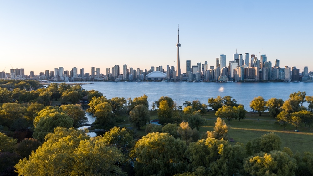
Despite potential for record high, recent heat event isn't expected to match earlier wave's longevity: Expert
Article content See more Toronto Sun on Google — save as a Preferred
Source and reference
Source Toronto was on its way to setting a heat record on Tuesday with maximum temperatures expected to hit 37 C and feel more like 45 C with the humidex, although there was nothing unusual about the city’s second heat wave so far in July. The first heat wave, which saw Environment Canada issue an orange warning, was from June 30 to July 4. The most recent heat event, which saw the lesser yellow warning issued, started Monday. It was supposed to end by Wednesday or Thursday night with Tuesday being the hottest day. “We certainly have done it before,” The Weather Network meteorologist Doug Gillham said. “The previous heat event, I mean, the humidex peaked at 48 C at Pearson; now that is unusual, but to have two heat events in July is not unusual. It is true that both events have pushed the upper limits of typical Toronto heat. So 48 C humidex is brutal, but the record is 50.3 C (set...
Read original source- Published
- Jul 14, 2026
- Updated
- Jul 14, 2026
- Source
- Toronto Sun
- Category
- Environment
- Read time
- 2 min
Key facts
Why this matters locally
This environment story matters locally because it may affect readers, businesses, commuters, families, or public services in British Columbia.
Local impact
BC Post links this item to British Columbia coverage so readers can follow related city updates, weather, traffic, events, and category news in one place.
Timeline
Source and credit
BC Post may summarize, organize, and add local context for reader clarity. Original reporting remains with the listed publisher.
Related Articles
View all Environment
50-hectare wildfire burns between Clearwater and 100 Mile House
Environment
50-hectare wildfire burns between Clearwater and 100 Mile House
 Environment
Updated Evacuation Information for Wildfire Fort Frances 14 (July 17 2026)
Environment
Updated Evacuation Information for Wildfire Fort Frances 14 (July 17 2026)
 Environment
A powerful movement of healing arrives at Delta’s Discovery Centre
Environment
A powerful movement of healing arrives at Delta’s Discovery Centre
 Environment
Port Coquitlam mayor launches program that removes graffiti on public property within 48 hours
Environment
Port Coquitlam mayor launches program that removes graffiti on public property within 48 hours
 Environment
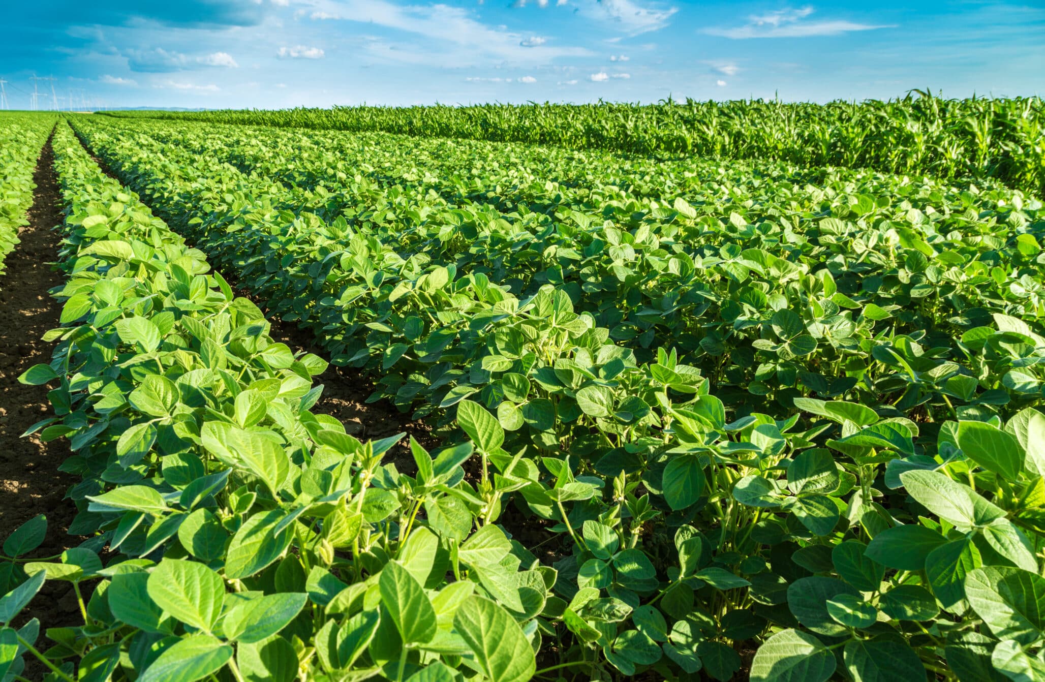
EU Excludes Soybean Seed from Deforestation Rules
Environment
EU Excludes Soybean Seed from Deforestation Rules
 Environment
Metro Vancouver issues air quality warning as wildfire smoke drifts in
Environment
Metro Vancouver issues air quality warning as wildfire smoke drifts in
More Local Coverage
Latest news Business
AI Market Trends: Q2 2026 Review and Forecast
Business
AI Market Trends: Q2 2026 Review and Forecast
 Politics
Powerful pro-life ad featuring boxing legend to air during final World Cup matches
Politics
Powerful pro-life ad featuring boxing legend to air during final World Cup matches