


Temperatures are expected to remain above seasonal in the Calgary area for most of the next 10 days.
Temperatures are expected to remain above seasonal in the Calgary area for most of the next 10 days. The main weather-maker is a dominant ridge of high pressure situated over central British Columbia and extending into Saskatchewan. Under that ridge, conditions will be persistently stable for most of the next week—including a mix of sun and cloud in Calgary with only a minimal threat of active weather.
North of that high, there is a low-pressure system, and in the boundary between the two, there is high potential for active weather by the middle of this week. Areas around the north-central foothills and toward the capital region may see moderate to severe thunderstorms on Tuesday afternoon. These cells would likely stay north of Red Deer, with instability the strongest near Edmonton.
On Wednesday, a line of showers and thunderstorms will likely start to pop up along the length of the foothills, with some of those cells potentially intensifying rapidly as they track north and east. Once again, north-central Alberta will likely be the hot spot for stronger and more damaging storms. As of 10:30 a.m. Monday, orange- and yellow-level heat warnings were in place for portions of southeastern Saskatchewan, Manitoba, Ontario and Quebec.
There are no warnings in Alberta since the immediate forecast will include temperatures that are expected to sit just below the warning threshold criteria. Daytime highs will drop in Calgary on Wednesday ahead of and in the wake of that brief disturbance but should still remain around seasonal values that day. Even without a heat warning, precautions should be considered with this upcoming warmer weather due to the duration and the overnight values.
Daytime highs in Calgary will range from 24 C to 29 C until the middle of next week with overnight lows between 13 C and 15 C. The normal high in Calgary this time of year is 23 C with a low of 9 C. The elevated overnight temperatures create challenges in homes and spaces without air conditioning or access to a mechanism to cool down, since those spaces will remain warmer at night than typical indoor ambient temperatures, and this puts additional strain on the human body. The stress from heat can cumulate with time, so it is important to check on vulnerable neighbours and pets, take breaks from the heat, stay hydrated and try to find spaces and/or opportunities to cool down.
According to Environment and Climate Change Canada, the signs of heat exhaustion include (but are not limited to), “headache, nausea, dizziness, thirst, dark urine and intense fatigue.”
- Published
- Jul 13, 2026
- Updated
- Jul 13, 2026
- Source
- Ctv News
- Category
- Weather
- Read time
- 2 min
Key facts
Why this matters locally
This weather story matters locally because it may affect readers, businesses, commuters, families, or public services in British Columbia.
Local impact
BC Post links this item to British Columbia coverage so readers can follow related city updates, weather, traffic, events, and category news in one place.
Timeline
Source and credit
BC Post may summarize, organize, and add local context for reader clarity. Original reporting remains with the listed publisher.
Related Articles
View all Weather
Markets don’t care what you paid: The dangers of getting too attached to a stock
Weather
Markets don’t care what you paid: The dangers of getting too attached to a stock
 Weather
7 'coolcation' destinations around the world to beat the summer heat
Weather
7 'coolcation' destinations around the world to beat the summer heat
 Weather
'No happy medium': Cape Breton farms adapt to weather extremes
Weather
'No happy medium': Cape Breton farms adapt to weather extremes
 Weather
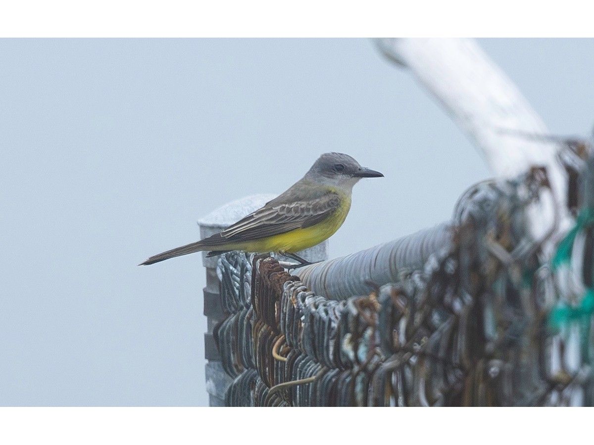
BRUCE MACTAVISH: Rare birds and plentiful food sources a boon for birdwatchers
Weather
BRUCE MACTAVISH: Rare birds and plentiful food sources a boon for birdwatchers
 Weather
U17 Astros open Provincials with 15-0 and 8-1 wins
Weather
U17 Astros open Provincials with 15-0 and 8-1 wins
 Weather
Welcome to the climate emergency, Kingston
Weather
Welcome to the climate emergency, Kingston
More Local Coverage
Latest news Politics
Powerful pro-life ad featuring boxing legend to air during final World Cup matches
Politics
Powerful pro-life ad featuring boxing legend to air during final World Cup matches
 Business
AI Market Trends: Q2 2026 Review and Forecast
Business
AI Market Trends: Q2 2026 Review and Forecast