

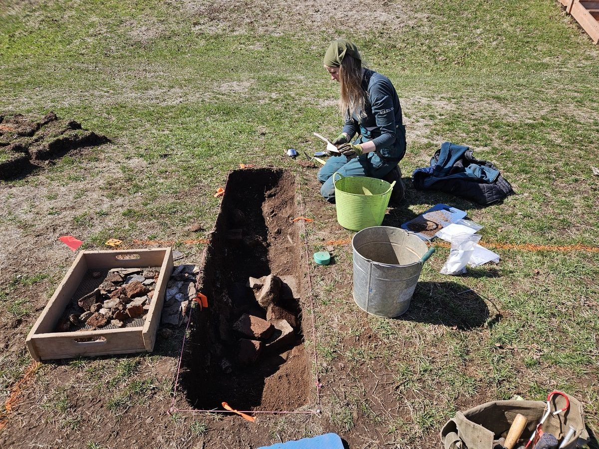
Parks Canada archaeologists found a largely intact foundation of an old barracks dating back to 1752 at Fort Anne National Historic Site.
Rebecca Dunham was asked to find the best place to put up two giant tents. But when she went digging, what she found was the largely intact foundation of an old barracks dating back to 1752 – in the middle of Fort Anne National Historic Site. It was almost 40 feet wide and 145 long.
Anyone who’s visited Fort Anne has probably walked right over top of it. In fact, those seated in the big tent June 4 for the 300th anniversary of the signing of the ratification of the first Peace and Friendship Treaty, was sitting right on top of the old barracks. Dunham is a Parks Canada archaeologist, and her job was to make sure the tent stakes, each at a metre long and spaced every 10 feet, didn’t get pounded into anything of historic significance.
The two tents were about 40 by 100 feet and 40 by 60 feet. “So about every 10 feet they have to drill these posts in, which are two-inches thick and about a metre deep,” she said. “It’s substantial disturbance.
We wanted to make sure that they didn’t impact cultural resources in the process.” Related 300 years later: Annapolis Royal event reaffirms commitments of Peace and Friendship Treaty ‘The history deserves to be known’: Event in Annapolis Royal shines light on Nova Scotia’s ‘forgotten Scots’ Preserving the past: Garrison Graveyard headstones being stabilized for future generations in Annapolis Royal, N.S. Very little previous excavation Because the parade square hadn’t been archaeologically excavated except for one corner that was studied back in mid-1990s, they didn’t really know what was underground.
“We do know from that one corner excavation that everything’s very shallow and vulnerable,” Dunham said. She didn’t want to dig a couple hundred test pits where the stakes were going to go. Instead, she went to old drawings and documents to see if they could zero in on what the evidence suggested might be there.
One of those things was the massive barracks built in 1752 and demolished in the 1790s. The British-built barracks was big. “It was a large brick building, two-storey structure to house officers and the soldiers,” Dunham said.
“And the walls that we uncovered were cut stone, mortar cut stone, foundation, three-foot thick.” If the foundation was still there, chances of hitting it with the tent stakes were good. “So, I went more with the avoidance route,” she said.
“I said let’s figure out exactly where the buildings, the 18th-century buildings, are in the parade square, and then we can mark that out and then the day the tents are going in just make sure the tents are positioned to avoid the significant features like the foundations, the chimney bases, the partition walls and stuff. So that’s what we aimed to do.” Minimal excavation She wanted to do minimal excavation, so she worked with the historical plans and Geographic Information System (GIS) surveys and analysis.
“And that building was the only one really going to be impacted by the two very large tents that were going to be staked. I said, ‘OK, let’s locate that building,’” she said. “So, to do that, I said, ‘If I can just get two corners, then that’ll suffice.’”
She hit pay dirt, literally. “We went out and had a lot of luck – maybe 30 years of doing this and a bit of luck,” she said. “But I did a small half-metre by two-metre test and came right down on one corner somehow, right on top of it.”
All told, it was two weeks of field work. Then she went back and did a GIS survey and was then able to go out on the parade square and using spray paint, marked the entire foundation. “I had it all spray painted out,” she said.
“The lines of the building and the partition walls and the fireplace locations with spray paint on the ground.” Found the foundation Ted Dolan, Parks Canada’s visitor experience and national historic sites manager for southwestern Nova Scotia, wasn’t surprised Becki found the foundations. “We have extensive documentation on previous use of the grounds, so we have a pretty good idea of what’s under there,” he said.
“What was somewhat surprising is that the corners of the foundations were pretty much exactly where Becki thought they’d be.” He said that although they do have documentation, older surveying techniques were sometimes not as accurate as today’s, and also many
Source and reference
reference points have either disappeared or have moved, so knowing the exact location of buried foundations can sometimes be challenging. Accurately positioned Knowing the building was about 40 feet wide, Dunham started another pit 37 feet away and nailed it again, landing right on top of the other corner. “There have been many buildings constructed then torn down (or burnt down) in the parade square,” said Dolan. “What is significant about this find is that it now gives very accurate reference points that we can use to locate other building foundations in the parade square as the plans we have give precise distances from other buildings. We can now very accurately estimate the exact locations of other foundations at the site.” When asked about the building that sat atop the foundation Dunham found, Dolan said it was indeed a soldiers’ barracks. “It was made of brick, two stories...
Read original source- Published
- Jul 16, 2026
- Updated
- Jul 16, 2026
- Source
- Pniatlantic
- Category
- Lifestyle
- Read time
- 6 min
Key facts
Why this matters locally
This lifestyle story matters locally because it may affect readers, businesses, commuters, families, or public services in British Columbia.
Local impact
BC Post links this item to British Columbia coverage so readers can follow related city updates, weather, traffic, events, and category news in one place.
Timeline
Source and credit
BC Post may summarize, organize, and add local context for reader clarity. Original reporting remains with the listed publisher.
Related Articles
View all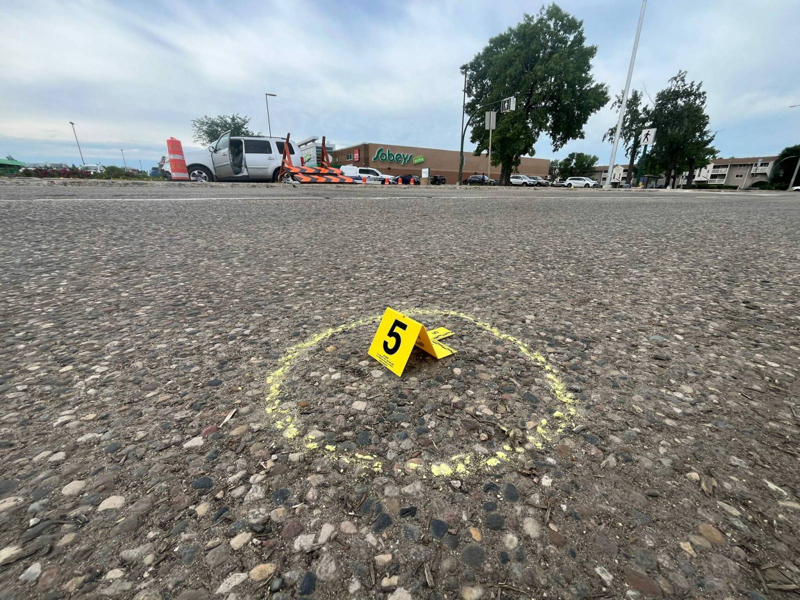 Lifestyle
Teen hit in crosswalk faces long recovery
Lifestyle
Teen hit in crosswalk faces long recovery
 Lifestyle
PHOTOS: Cyclists in Chilliwack ride in rain to raise funds for multiple sclerosis
Lifestyle
PHOTOS: Cyclists in Chilliwack ride in rain to raise funds for multiple sclerosis
 Lifestyle
City of Lethbridge formally agrees to contribute funding for future 32-bed recovery facility
Lifestyle
City of Lethbridge formally agrees to contribute funding for future 32-bed recovery facility
 Lifestyle
Canadian lottery winner thrilled by free plays before noticing much bigger prize
Lifestyle
Canadian lottery winner thrilled by free plays before noticing much bigger prize
 Lifestyle
From overlooked recruit to featured player: Yorkville Christian grad David Douglas Jr. comes home to NIU
Lifestyle
From overlooked recruit to featured player: Yorkville Christian grad David Douglas Jr. comes home to NIU
 Lifestyle
Feds provide $345,000 to expand accessible housing at Community Living Huntsville’s Floral Villa
Lifestyle
Feds provide $345,000 to expand accessible housing at Community Living Huntsville’s Floral Villa
More Local Coverage
Latest news Business
AI Market Trends: Q2 2026 Review and Forecast
Business
AI Market Trends: Q2 2026 Review and Forecast
 Politics
Powerful pro-life ad featuring boxing legend to air during final World Cup matches
Politics
Powerful pro-life ad featuring boxing legend to air during final World Cup matches