

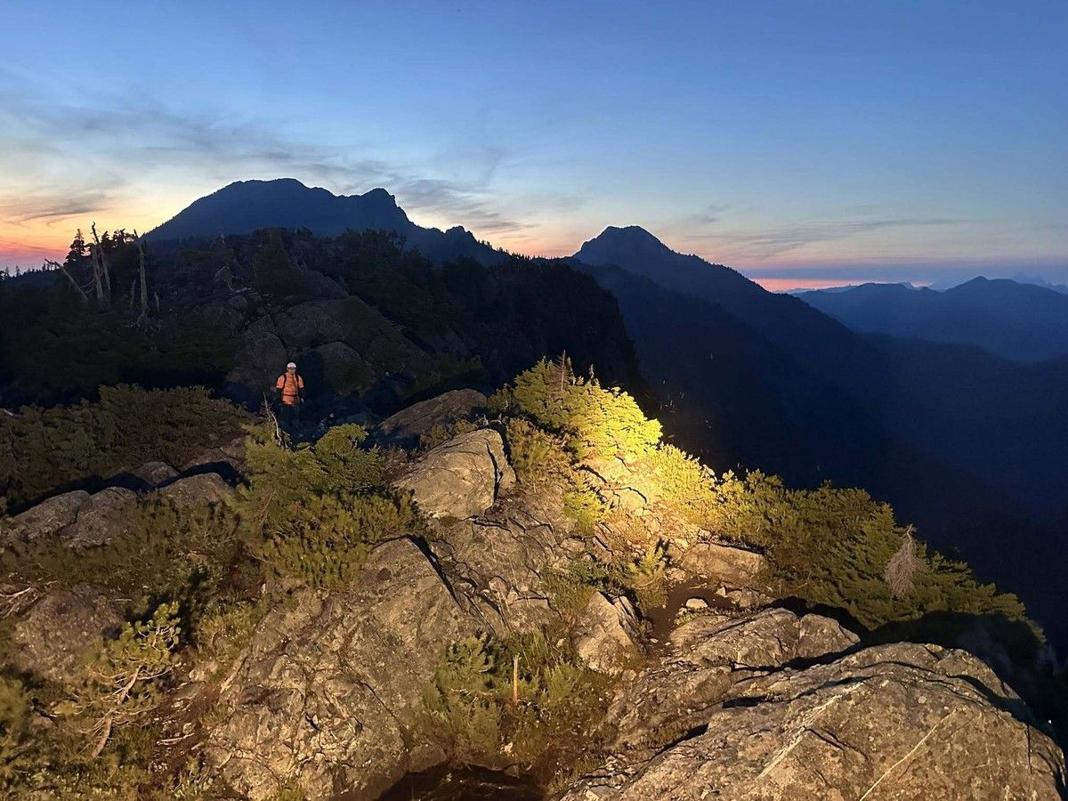
Google Maps was designed to navigate roads and city streets, not mountain terrain, and there are other options designed specifically for backcountry wayfinding.
Google might be able to find you the answer to almost anything — but it likely won’t help you find your way out of the B.C. backcountry once you’re lost and exhausted. Lions Bay Search and Rescue is reminding those venturing into the wilderness that Google Maps isn’t an adequate planning tool. The warning comes after hikers were rescued this week after attempting to complete the Howe Sound Crest Trail using printed Google Maps directions that said the hike would take less than half the amount of time it usually requires.
“This week we responded to hikers attempting part of the Howe Sound Crest Trail who had planned their trip using Google Maps. It’s not the first time we’ve seen this — let’s deep-dive,” said the post on the Lions Bay SAR Facebook page. The post went on to detail how the hikers had printed the following directions from Google Maps: “Turn left onto Howe Sound Crt Trl, Slight left to stay on Howe Sound Crst Trl.
• Cypress to West Lion: 2 hr 55 min • West Lion to Lions Bay: 2 hr 18 min Total: 5 hours 13 minutes” “Anyone familiar with the Howe Sound Crest Trail knows that’s wildly optimistic,” said the warning from Lions Bay SAR. In reality, even elite trail runners typically take about nine hours to complete the trail.
Experienced hikers can tackle the hike in 12 to 14 hours, though it’s typically split across several days with overnight stops along the way. According to rescuers, the stretch of the trail where the hikers were found measures about 18 kilometres long with more than 1,300 metres of elevation gain, as well as “alpine terrain, route finding, scrambling sections, loose rock, and countless ups-and-downs that Google simply doesn’t account for.” AllTrails, a popular resource for outdoor adventuring, describes the Howe Sound Crest Trail as “a visually stunning and dynamic trail” but warns that it “ventures deep into the background and up into exposed alpine where snow and severe weather is common well into the summer.”
The site advises would-be trail hikers to bring water, hiking poles and proper equipment, noting that the trail often sees “a large number of avoidable injuries and search-and-rescues each spring and summer.” In its message, Lions Bay SAR points out that “when your planning tool gets the fundamentals wrong, your entire trip is built on a false assumption.” “Every decision that follows — from your departure time to the amount of food and water you pack — is affected.
It’s one of the reasons we regularly respond to hikers who become exhausted, benighted, injured or unable to complete their objective safely,” the post said. Before heading into the backcountry, hikers are reminded to check the weather, ensure they know the elevation gain being attempted, pack adequate food and water, carry essential safety equipment, start early and, of course, know when to turn around. “A map is only one part of planning.
Even the best hiking app can’t replace good judgment,” read the Lions Bay SAR message. “Please don’t let Google Maps convince you that a serious hike is just another afternoon walk.” The group reminds would-be hikers that Google Maps was designed to navigate roads and city streets, not mountain terrain, and suggests a number of other options designed specifically for backcountry wayfinding.
Here are some websites and apps designed for backcountry hiking navigation: This app and website offers access to a deep database of trail maps for running, hiking and mountain-biking, along with crowdsourced information on difficulty levels and updated trail condition information. Most hikers will benefit from the free version, though some may opt for Plus ($35.99 a year) to access offline maps, wrong-turn alerts, trail conditions and additional fitness tracker functionality. This app was designed in Squamish and offers offline maps for backcountry skiing, hiking and climbing.
Much of the app was developed by partnering with local ski guides and building on tried and true knowledge of B.C.’s backcountry. Topographic maps, route planning and device syncing are available, with both free and Pro subscriptions available ($47.99 a year). Gaia GPS offers advanced topographic maps, satellite imagery, offline navigation and route planning, with maps available worldwide.
It’s free, with a premium subscriptions costing $74.90 a year. Avenza Maps was designed for those conducting professional field work, such as surveying, land management, environmental work and GIS field operations, but its ability to download offline topographic maps has made it popular with backcountry users, too. Download trail, topographic, land-use, utility, nautical and survey data from official sources or import your own route maps.
Avenza Maps Plus starts at $49.99 annually.
- Published
- Jul 17, 2026
- Updated
- Jul 17, 2026
- Source
- Vancouver Sun
- Category
- Technology
- Read time
- 4 min
Key facts
Why this matters locally
This technology story matters locally because it may affect readers, businesses, commuters, families, or public services in British Columbia.
Local impact
BC Post links this item to British Columbia coverage so readers can follow related city updates, weather, traffic, events, and category news in one place.
Timeline
Source and credit
BC Post may summarize, organize, and add local context for reader clarity. Original reporting remains with the listed publisher.
Related Articles
View all Technology
Transformer-manufacturing company to shut down its Chilliwack facility
Technology
Transformer-manufacturing company to shut down its Chilliwack facility
 Technology
Quebec announces plan to train more aerospace workers as demand surges
Technology
Quebec announces plan to train more aerospace workers as demand surges
 Technology
Apple’s Lawsuit Could Choke OpenAI’s iPhone Rival Before It Even Ships
Technology
Apple’s Lawsuit Could Choke OpenAI’s iPhone Rival Before It Even Ships
 Technology
Spectro Cloud Raises $100 Million Series D to Help Customers Move AI Infrastructure Into Production Across Enterprise, Public Sector, Neocloud and Sovereign Cloud Environments
Technology
Spectro Cloud Raises $100 Million Series D to Help Customers Move AI Infrastructure Into Production Across Enterprise, Public Sector, Neocloud and Sovereign Cloud Environments
 Technology
GO train users could face delays, cancellations due to ‘crew constraints’: Metrolinx
Technology
GO train users could face delays, cancellations due to ‘crew constraints’: Metrolinx
 Technology
Texting a stranger works better to fight loneliness than talking to an AI chatbot
Technology
Texting a stranger works better to fight loneliness than talking to an AI chatbot
More Local Coverage
Latest news Business
AI Market Trends: Q2 2026 Review and Forecast
Business
AI Market Trends: Q2 2026 Review and Forecast
 Politics
Powerful pro-life ad featuring boxing legend to air during final World Cup matches
Politics
Powerful pro-life ad featuring boxing legend to air during final World Cup matches