

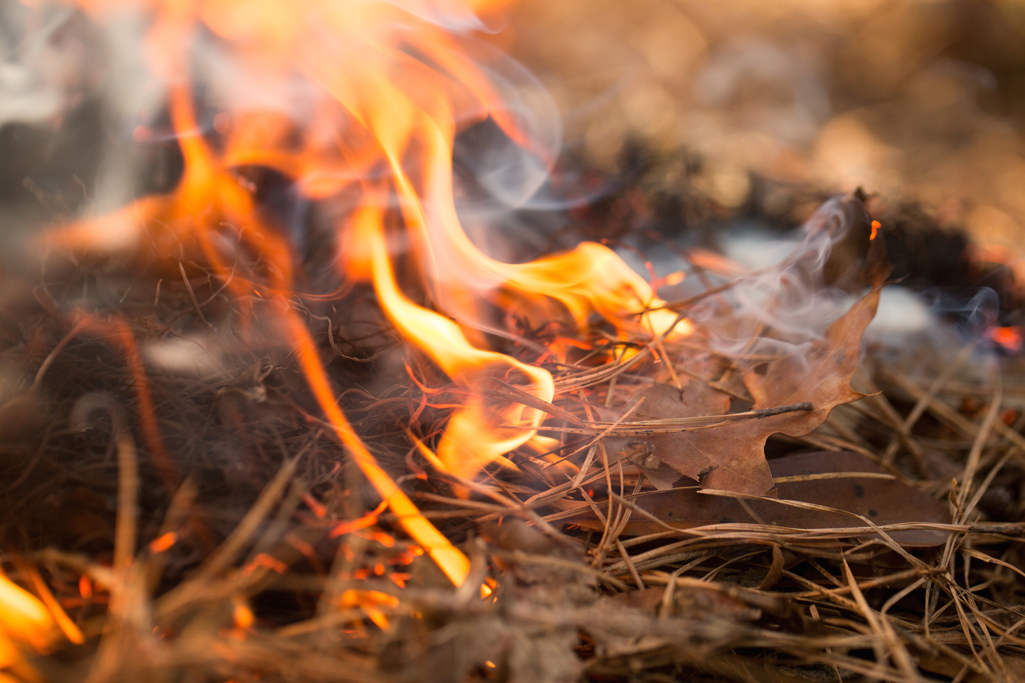
There were 20 new wildfire reported in the Northeast Region on Thursday and an additional one confirmed after Wednesday's update. - North Bay 27 is a 10 hectare fire and is not under control.
There were 20 new wildfire reported in the Northeast Region on Thursday and an additional one confirmed after Wednesday's update. - North Bay 27 is a 10 hectare fire and is not under control. It is located 2 kilometres south of Hand Lake.
- North Bay 28 is a 0.1 hectare fire and is not under control. It is located on the western shore of Eaglerock Lake. - North Bay 30 is a 0.1 hectare fire and is not under control.
It is located on the western shore of Plum Lake. - North Bay 31 is a 0.7 hectare fire and is not under control. It is located north of Scarecrow Lake.
- North Bay 29 is a 0.8 hectare fire located 3 kilometres north of Lake Nipissing near Laronde Creek. This fire is not under control. - North Bay 32 is a 0.1 hectare fire located 2 kilometres north of McFarlane Lake.
This fire is not under control. - North Bay 33 is a 0.1 hectare fire located on the northeast shore of Azen Lake. This fire is not under control.
- Wawa 21 is 0.1 hectares and not under control. It is located approximately 13 kilometres south of Highway 11 on Mistake River. -
Wawa 22 is a 0.7 hectare fire located 1 kilometre south of Taradale Lake. This fire is not under control. - Wawa 23 is a 1.5 hectare fire and is not under control.
It is located approximately 2 kilometers southeast of Vein Lake. - Wawa 24 is a 0.1 hectare fire and is not under control.
It is located near the Baldhead River in Lake Superior Provincial Park. - Sudbury 22 is 0.5 hectares in size and is located 1 kilometre west of Maskinonge Lake. This fire is being held.
- Sudbury 23 is 0.1 hectare in size and is located on the east shore of Knight Lake. This fire is not under control. - Sudbury 24 is 0.8 hectares in size and is located 1 kilometre east of Millerd Lake.
This fire is not under control. - Sudbury 25 is 0.4 hectares in size and is located 1 kilometre west of Wavy Lake. This fire is not under control.
- Sudbury 26 is 1.5 hectares in size and is located 1 kilometre south of Highway 17, west of Massey. This fire is not under control. - Timmins 23 is a 0.5 hectare fire that is not under control.
It is located approximately 1 kilometer east of Kapiskong Lake. - Chapleau is 0.3 hectares and is not under control. It is located 3 kilometres southwest of Belford Creek. -
Cochrane 43 is 21 hectares and is being observed. It is located approximately 38 kilometres west of Fort Albany. - Cochrane 44 is 117 hectares and is being observed.
It is located south of the confluence of the Chard River and the Tchakashapug River. The new fire confirmed late on Wednesday was Cochrane 42, which is 1 hectare in size and is being held. This fire is located approximately 3 kilometres southeast of Fox River and 8 kilometres north of Bannerman Lake.
View the new and active fire situation and restricted fire zones. Follow Ontario’s Outdoor Burning Regulations Aviation, Forest Fire and Emergency Services would like to remind the public to use caution when performing any outdoor burning. In order to dispose of yard waste and woody debris, we encourage you to use methods such as composting or using your local landfill.
If you must burn, follow Ontario’s Outdoor Burning Regulations. Fires are to be ignited no sooner than two hours before sunset and are to be extinguished no later than two hours after sunrise. Always have tools/water adequate to contain the fire at the site.
Know the rules for safe outdoor burning; consult the full set of Outdoor Burning Regulations. Report a Wildland Fire To report a wildland fire located north of the French and Mattawa rivers, please dial 310-FIRE. To report a wildland fire located south of the French or Mattawa Rivers, please dial 9-1-1.
For tips on preventing wildland fires and information on the current fire situation, follow us on Facebook, Instagram and X in English and French: @ONforestfires and @ONfeudeforet. For more information about the current wildland fire situation, visit www.ontario.ca/forestfire.
- Published
- Jul 16, 2026
- Updated
- Jul 16, 2026
- Source
- Baytoday.ca
- Category
- Environment
- Read time
- 3 min
Key facts
Why this matters locally
This environment story matters locally because it may affect readers, businesses, commuters, families, or public services in British Columbia.
Local impact
BC Post links this item to British Columbia coverage so readers can follow related city updates, weather, traffic, events, and category news in one place.
Timeline
Source and credit
BC Post may summarize, organize, and add local context for reader clarity. Original reporting remains with the listed publisher.
Related Articles
View all Environment
50-hectare wildfire burns between Clearwater and 100 Mile House
Environment
50-hectare wildfire burns between Clearwater and 100 Mile House
 Environment
Updated Evacuation Information for Wildfire Fort Frances 14 (July 17 2026)
Environment
Updated Evacuation Information for Wildfire Fort Frances 14 (July 17 2026)
 Environment
A powerful movement of healing arrives at Delta’s Discovery Centre
Environment
A powerful movement of healing arrives at Delta’s Discovery Centre
 Environment
EU Excludes Soybean Seed from Deforestation Rules
Environment
EU Excludes Soybean Seed from Deforestation Rules
 Environment
Metro Vancouver issues air quality warning as wildfire smoke drifts in
Environment
Metro Vancouver issues air quality warning as wildfire smoke drifts in
 Environment
Vancouver forecast in 'sweet spot' but hot temperatures on the way
Environment
Vancouver forecast in 'sweet spot' but hot temperatures on the way
More Local Coverage
Latest news Business
AI Market Trends: Q2 2026 Review and Forecast
Business
AI Market Trends: Q2 2026 Review and Forecast
 Politics
Powerful pro-life ad featuring boxing legend to air during final World Cup matches
Politics
Powerful pro-life ad featuring boxing legend to air during final World Cup matches