

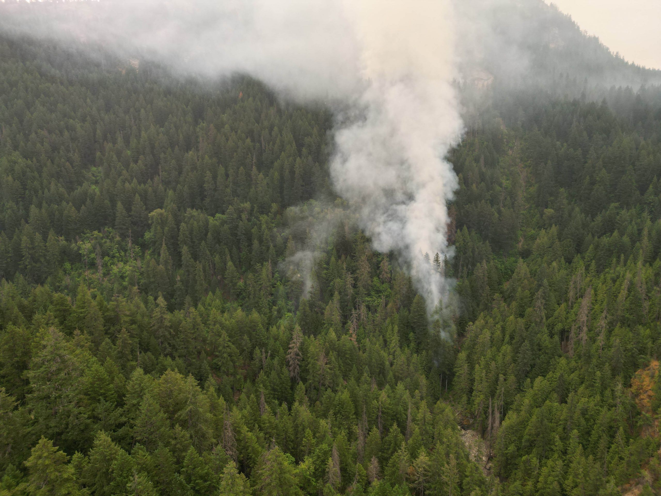
Wildfires raging across northwestern Ontario are affecting communities throughout the region. With eight known fires burning in Quetico Provincial Park, the Dawson Trail Campground and backcountry entry stations were closed, the Ministry of the Environment, Conservation and Parks said Tuesday on its website. “Public safety is our top priority,” the [...]
Wildfires raging across northwestern Ontario are affecting communities throughout the region. With eight known fires burning in Quetico Provincial Park, the Dawson Trail Campground and backcountry entry stations were closed, the Ministry of the Environment, Conservation and Parks said Tuesday on its website. “Public safety is our top priority,” the ministry said.
“We will reopen the park as soon as it is safe to do so. We will be reassessing again on July 18, 2026, if further cancellations are required.” “The fire hazard is high to extreme across much of Ontario today,” the Ministry of Natural Resources said Tuesday, noting that the province was responding to 160 active wildland fires, more than half of those in Northwestern Ontario.
“We are closely monitoring this situation, actively responding and assigning resources, including air attack, to manage current fires.” As of press time, Highway 11 was closed in both directions between Highway 633 and Highway 623 east of Atikokan, and Highway 599 was closed southbound between Highway 516 and Mishkeegogamang First Nation. The region has been scorched by hot temperatures and has seen little precipitation for weeks.
The fire department covering Emo, Chapple and La Vallee, as well as the West Rainy River District Fire Department, which covers Rainy River, Dawson and Lake of the Woods, have both imposed total fire bans over their coverage areas. The Rainy River District has so far been spared the worst of this fire season, with little fire activity in the areas between Fort Frances, Dryden and Kenora. However, some nearby communities have been devastated, including Namaygoosisagagun First Nation, also known as Collins First Nation, near Armstrong and north of Lake Nipigon.
In an emailed statement, Fort Frances Interim Fire Chief Wayne Riches noted that there is no municipal fire ban within Fort Frances at this time. “Currently there is no fire ban within Fort Frances,” Riches said. “We generally follow suit with the Ministry of Natural Resources, so if they impose a fire ban, then we will also implement a ban.”
The more rural communities have challenges that the Town of Fort Frances does not, Riches said. “The concerns within the district differ from ours,” he said. “They are dealing with open fields, brush and forested areas that generally are home to the farming industry, where there is high demand for burning permits, and they need to regulate burning.
In many cases, these departments have limited water supply, utilizing tankers and portable tanks through mutual aid.” Riches noted that Fort Frances does not have much in the way of brush around the community, which makes things easier for his department, and the bylaws lay out what people in Fort Frances are allowed to do. “Our community is very fortunate, as we do not have significant brush or forested lands within the municipal boundaries.
We have an open-air burning by-law in place that allows for small recreational fires in approved containers, and a permit system for burning standing grass and piled wood products that is specific to lands northwest of Eighth Street and McIrvine Road. We issue very few permits to approve open-air burning prior to the fire season, which starts April 1 of the year.” Riches said that given the forecast, he could see a ban coming into effect in the future.
“I would not be surprised to see the MNR impose a fire ban for our area, given the forecast for the next few weeks,” he said. “If this is the case, we will be sure to keep you informed and will look to notify the community through all avenues of the media.” The ministry is advising extreme care if the use of fire is absolutely necessary.
“Please use extreme caution if you are in a forested area or wildland-urban interface (areas where homes and communities are adjacent to forests),” the MNR said. “With high temperatures and extremely dry conditions, the potential exists for extreme fire behaviour. Avoid parking on dry grass, allow ATVs and other off-road vehicles to cool regularly, and refrain from using fire unless absolutely necessary.”
According to the OPP, mandatory evacuation orders were in place Tuesday morning for Armstrong, Collins First Nation, Cushing Lake, Lac des Mille Lacs First Nation and Whitesand First Nation. Residents of Ignace, Crystal Lake and the Highway 633 area were told to prepare for possible evacuation.
- Published
- Jul 14, 2026
- Updated
- Jul 14, 2026
- Source
- Fort Frances Times
- Category
- Top
- Read time
- 3 min
Key facts
Why this matters locally
This top story matters locally because it may affect readers, businesses, commuters, families, or public services in British Columbia.
Local impact
BC Post links this item to British Columbia coverage so readers can follow related city updates, weather, traffic, events, and category news in one place.
Timeline
Source and credit
BC Post may summarize, organize, and add local context for reader clarity. Original reporting remains with the listed publisher.
Related Articles
View all Top
Rock the Lake celebrated its ninth year at Prospera Place this past weekend
Top
Rock the Lake celebrated its ninth year at Prospera Place this past weekend
 Top
Million-dollar contract awarded for Surrey Sport & Leisure Complex renos
Top
Million-dollar contract awarded for Surrey Sport & Leisure Complex renos
 Top
MLA Jordan Kealy to face jury in sexual assault case
Top
MLA Jordan Kealy to face jury in sexual assault case
 Top
BCWS aircraft helping Kamloops firefighters battle grass fire above Shuswap Road
Top
BCWS aircraft helping Kamloops firefighters battle grass fire above Shuswap Road
 Top
Brunswick Creek wildfire grows, leads to air quality warning in east Fraser Valley
Top
Brunswick Creek wildfire grows, leads to air quality warning in east Fraser Valley
 Top
'A sacred place': Delta park to get dedicated ash-scattering site
Top
'A sacred place': Delta park to get dedicated ash-scattering site
More Local Coverage
Latest news Politics
Powerful pro-life ad featuring boxing legend to air during final World Cup matches
Politics
Powerful pro-life ad featuring boxing legend to air during final World Cup matches
 Business
AI Market Trends: Q2 2026 Review and Forecast
Business
AI Market Trends: Q2 2026 Review and Forecast